Establishing the foundation
The initial 1:1 environment, shader architecture, modelling standards, artist tools, and production pipeline were created while the Toronto foreground expanded.
Building the technical and artistic foundation for a high-fidelity, cloud-streamed recreation of approximately 2 km² of Toronto at 1:1 scale.
Production began in early 2020 with The HUB at 30 Bay Street and its immediate surroundings. It later grew into an interactive R&D platform combining a hand-modelled foreground, real urban information, multiplayer, cinematic presentation, and browser delivery.
I was the first artist and technical contributor. As the project expanded, I moved into technical direction, production leadership, QA, tooling, and responsibility for the final visual and technical quality bar.
The environment was built for exploration, data visualization, cinematic presentation, and live browser delivery, not only for isolated architectural images.
Real-time application and cinematic overview. Unreal Engine 5.
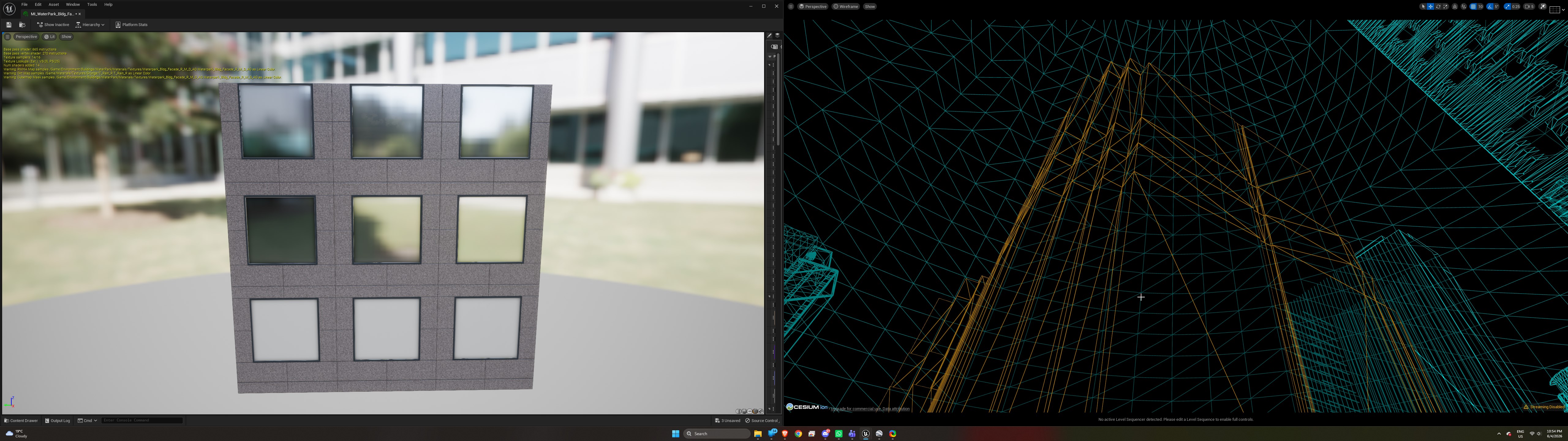
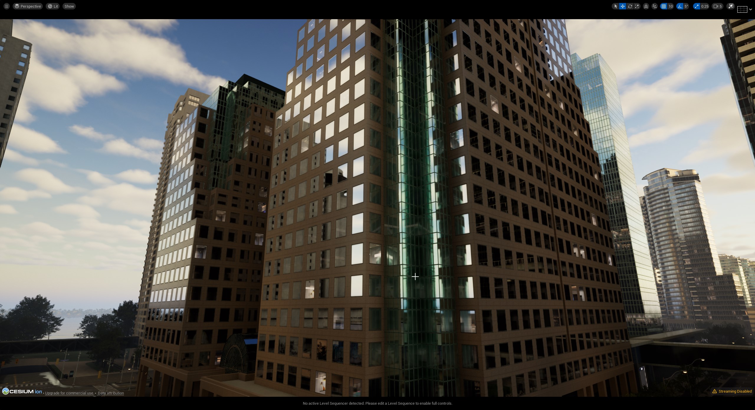
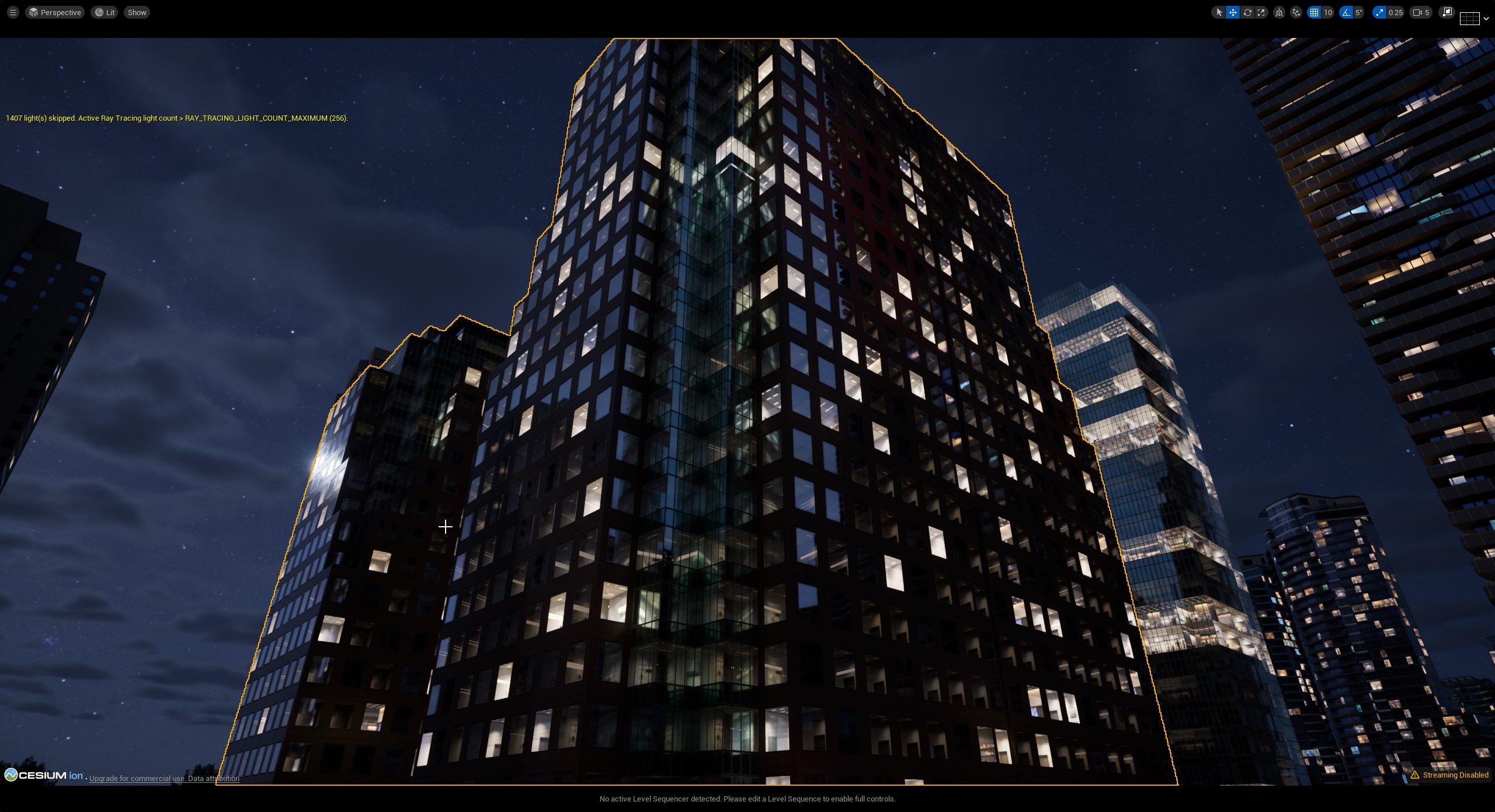
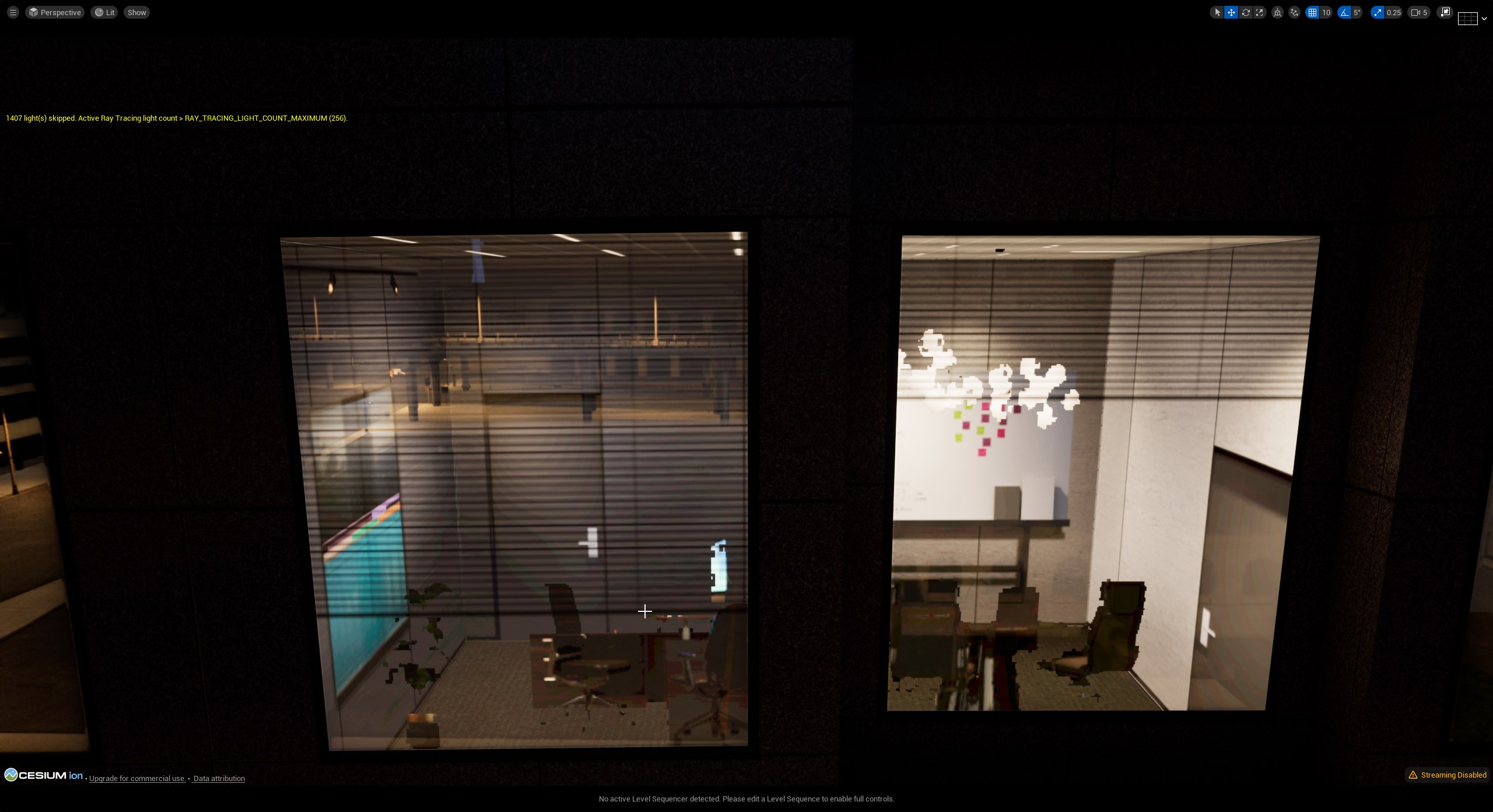
A city-scale environment cannot treat every room, window, and facade element as unique geometry. I developed a material system that moved much of the visible complexity into shaders while keeping building meshes deliberately efficient.
The project began in Unreal Engine 4.26 and 4.27, then moved into Unreal Engine 5. Parts of the environment were rebuilt or adapted around the engine's evolving large-world, rendering, and modelling toolsets.
The initial 1:1 environment, shader architecture, modelling standards, artist tools, and production pipeline were created while the Toronto foreground expanded.
World Partition, Nanite, and Lumen changed how the project handled large-world organization, geometry, lighting, and the visual quality target.
Roads, sidewalks, land plots, plazas, and highway structures were inspected and refined directly with Unreal Modeling Tools in lit and wireframe views.
A surviving May 2023 recording documents infrastructure optimization across the waterfront in lit and wireframe views.
I developed a custom Houdini Digital Asset to reduce repetitive infrastructure work while preserving project-specific control. Exposed parameters allowed pillar dimensions and variations to be adjusted directly inside Unreal Engine 4.
The system was designed around constraints including terrain slope, highway curvature, and ground clearance.
Custom Houdini Digital Asset running inside Unreal Engine 4.
The 1:1 foreground used LiDAR, photogrammetry, OpenStreetMap, satellite imagery, Google Earth reference, and municipal datasets. The workflow changed repeatedly as the environment grew and better sources became available.
Google-derived geometry was used only as temporary production reference and was not intended as shipped content.
Drag each control to compare the Unreal environment against its real-world reference and to move between the final lit view and the underlying geometry.
The comparison demonstrates close visual and spatial correspondence. It is not presented as a formal survey-grade accuracy certification.
Google imagery is shown as production reference only. Google and Google Earth are trademarks of Google LLC.
The building silhouette remains efficient while materials, glazing, lighting, and interior systems carry much of the perceived complexity.
The R&D application was designed to be explored, queried, and connected to real city information. Urban data was translated into an in-world system rather than presented as disconnected overlays.
Hover, highlight, selection, and building metadata sourced from Toronto Open Data.
Schools, parks, public art, and other city points of interest.
Camera feeds displayed at their corresponding real-world intersections.
Current Toronto conditions and forecast information from Weather.com.
Dynamic weather, vegetation response, lighting, and a complete day/night cycle.
Free roaming, multiplayer, browser access, and cinematic capture.
I developed the in-world weather, lighting, material, vegetation, and environmental presentation systems. The lead programmer implemented Weather.com API parsing, forecast data structures, and related interface integration.
The application was delivered with PureWeb running on CoreWeave infrastructure. I optimized the Unreal application for the streaming environment while the third-party providers supplied the underlying platform.
These are contemporaneous production measurements from an August 2023 presentation, not a controlled benchmark. Complete resolution and graphics settings were not preserved.
I began as the project's first artist and technical contributor. As production expanded, my role moved toward technical direction, QA, artist enablement, and direct production review.
Contributors worked across regions, languages, skill levels, 3ds Max, and Blender. A substantial group in South America had limited English, so visual communication became essential.
According to the company's CEO at the time, the project grew to more than 400 Toronto-specific assets. The finished R&D platform demonstrated how high-fidelity real-time rendering could combine urban information, multiplayer, cinematic presentation, and browser delivery.
The most important result was the production system beneath the imagery: shader-driven detail, infrastructure optimization, procedural R&D, reference alignment, technical QA, documentation, and distributed-team leadership.
In August 2023, members of Epic Games' architecture and enterprise teams reviewed the Toronto project, discussed a possible feature, and requested clean footage for a showcase. The showcase was not completed after 3D CityScapes ceased active operations.
3D CityScapes was named a 2020 Epic MegaGrant recipient before Toronto production began and later operated as an Unreal Authorized Service Partner. These were company distinctions, not a personal award or a Toronto-specific grant.
The videos, project gallery, real-estate context, and municipal data sources below provide additional context for the Toronto Waterfront Digital Twin.